Latest news
2019 CAPER Conference announcement, 8 - 9th May
The annual CAPER (Community of Air Pollution Effects Researchers) conference provides an opportunity for researchers and policy makers on air quality effects to meet to present and informally discuss new advances in this rapidly developing field.
Clean Air Strategy 2019
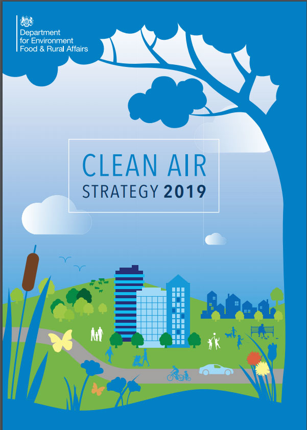 Environment Secretary Michael Gove launched on January 14th, 2019 an ambitious new strategy to clean up our air and save lives. Air pollution is one of the biggest threats to public health in the UK - behind only cancer, obesity and heart disease - and the measures set out in the Clean Air Strategy will cut the costs of air pollution to society by £1.7 billion every year by 2020, rising to £5.3 billion every year from 2030.
The Strategy sets out the comprehensive action that is required from across all parts of government and society to meet these goals. New legislation will create a stronger and more coherent framework for action to tackle air pollution.
Background data reverted to years 2013-2015!
Important Information
In March 2018 we updated the Search by Location and Site Relevant Critical Loads tools in APIS to use background pollution maps based on a 3-year average for 2014-2016. An error has been discovered with the underlying gas and particulate matter monitoring data upon which the background maps are based. This affects the results for only the year 2016. It is probable that the 3-year average will be affected only slightly, however, the 2016 mapping is currently being re-run to quantify changes. As a precautionary measure for the meantime, we have reverted back to the 2013-2015 datasets in APIS and will re-issue the 2014-2016 maps as soon as they are available. The source attribution data in the Site Relevant Critical Loads tool has not been changed and continues to be based on 2012 emissions data.
Code of Good Agricultural Practice for reducing ammonia emissions
 for Reducing Ammonia Emissions") Defra have recently published a code of good agricultural practicefor reducing ammonia emissions’ (COGAP) for England. It is a voluntary guidance code that is relevant to many farming practices and has been written specifically for English farming systems. There is also an accompanying video on YouTube here.”
Defra have recently published a code of good agricultural practicefor reducing ammonia emissions’ (COGAP) for England. It is a voluntary guidance code that is relevant to many farming practices and has been written specifically for English farming systems. There is also an accompanying video on YouTube here.”
Air Pollution Newsletter
The latest edition of JNCC’s Air Pollution Bulletin has been published, providing an update on the work of the statutory nature conservation bodies.
Pages
