🔊 The 2021 data for Ireland is now live in APIS

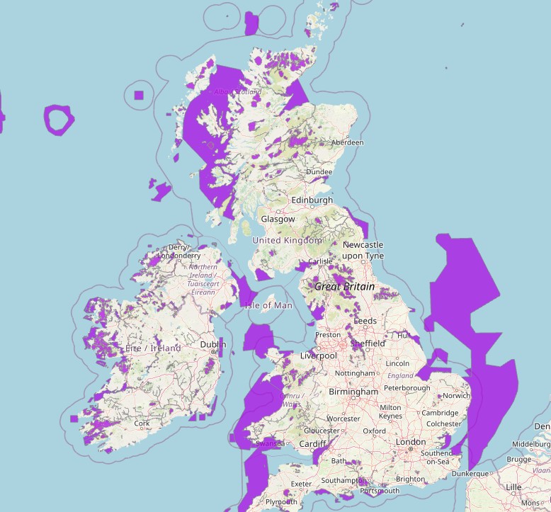
Welcome to the APIS GIS map tool for Site Relevant Critical Loads & Search by Location for UK & Ireland. The tool also offers a one-stop shop for critical load and level data for designated features across protected sites, together with pollutant data for nitrogen and acid deposition and concentration of gases for Ammonia, (NH3), Nitrogen oxides (NOx) and Sulphur dioxide (SO2). Source attribution is also available for protected sites.
We welcome any comments or suggestions that you may have about the app interface, you can suggest your changes or report any problems and select the option "APIS bugs & broken links".
See the video demonstration on how to use this tool.
Important Updates:
- Ammonia Data Update (26/07/2024): The ammonia dataset has been updated. See APIS news for more information.
- Latest app update (10/07/23): please browse the latest release note prior to using the GIS map tool.
How deposition is used in APIS
Different deposition estimates are presented for each grid cell: 'Short-vegetation' (e.g. bogs, heath, acid grassland, dunes), 'Forest' (split into deciduous and coniferous in Ireland) and 'Grid-Average'. Forest habitats receive more deposition due to a greater overall surface roughness, and Forest numbers can be applied to all wooded habitats. Grid-Average takes into account urban areas and fertilised farmland within the grid cell. These areas receive less deposition than unfertilised habitats (e.g. habitats at protected sites), and Grid-Average deposition is generally less than the deposition to short-vegetation, particularly in grid cells with large areas of arable or improved grassland. Grid-Average deposition is provided to allow estimation of total deposition for catchment-wide studies.
Direct deposition onto habitats with little or no surface vegetation, such as freshwaters or shingle, will be less than onto e.g. bogs, heath etc. in the same location, but modelled deposition rates are not currently available for these habitats. Using the EMEP4UK model, direct deposition of total nitrogen onto freshwaters has been estimated at 63 % of the deposition rate onto moorland. This proportion of the local nitrogen deposition onto moorland could be used as an estimate of direct deposition onto freshwater within the same grid cell, but measurements are scarce and the proportion remains uncertain. The nitrogen or acidity that enters freshwaters as a result of atmospheric pollution also depends on leaching rates and lateral flows from the land uses within the catchment.