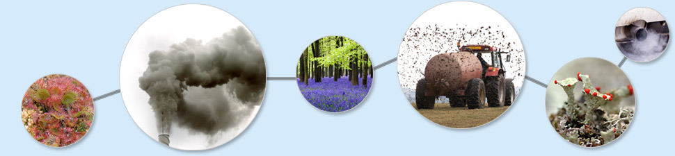
Latest news
APIS GIS map tool latest release (29/11/2023): Screening Acidity Critical Loads tab per site and location ; pollutant values for Ireland
Dear APIS users,
We are releasing today a new feature of the APIS tool, as well as an updatte to the pollutant values for Ireland.
Screening Acidity Critical Loads
Within the Screening Acidity Critical Loads tab, it is now possible to query suggested values of CLos for the whole designated site (which until now was the default) or for a specific 1km grid square, using the switch on the top-left corner
APIS GIS map tool: new version release (01/09/23)
EDIT on 01/09/2023 11:28: the release has been performed.
We plan on releasing a new version of the APIS GIS map tool on 01/09/2023. This is to replace the current version, relying on soon-to-be obsolete technology, and of which code was difficult to maintain, as well as hard to test. This new version will however look the same on the user end, and changes should not be perceptible when using the map tool. As usual, we invite you to report any issue, should any arise.
APIS GIS map tool: new version release (10/07/23)
PLEASE READ BEFORE TO USE THE GIS TOOL
25/05/23 edits:
Ireland: Ireland was added to the APIS GIS tool, for site designations SAC, SPA, NHA and woodlands, using EMEP estimates for 2018 at a 1km resolution.
IMPORTANT APIS User Announcement - Database Updated
Dear APIS users,
APIS maintenance - Monday 14th November
APIS database is going to be temporarily down for maintenance on Monday the 14th of November. This will affect the functionality of the website and the new mapping interface. Apologies for any inconvenience this may cause.